
Thank you for supporting this site ❤️
Make a donation
Make a donation
Gear up for your next adventure:
As an Amazon Associate, this site earns from qualifying purchases at no extra cost to you.
Lechleiten topographic map
Click on the map to display elevation.
Thank you for supporting this site ❤️
Make a donation
Make a donation
Gear up for your next adventure:
As an Amazon Associate, this site earns from qualifying purchases at no extra cost to you.
About this map
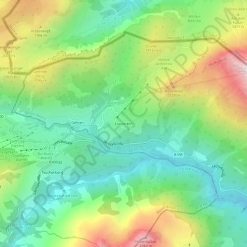
Name: Lechleiten topographic map, elevation, terrain.
Location: Lechleiten, Steeg, Bezirk Reutte, Tyrol, 6655, Autriche (47.24205 10.18093 47.28205 10.22093)
Average elevation: 5,472 ft
Minimum elevation: 4,049 ft
Maximum elevation: 8,054 ft
Thank you for supporting this site ❤️
Make a donation
Make a donation
Gear up for your next adventure:
As an Amazon Associate, this site earns from qualifying purchases at no extra cost to you.