Geolocate

Al Hamra' topographic map

Click on the map to display elevation.

About this map

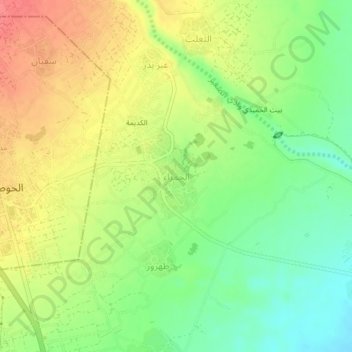
Name: Al Hamra' topographic map, elevation, terrain.

Location: Al Hamra', Tuban District, Lahij Governorate, Yemen (13.03902 44.88326 13.07902 44.92326)

Average elevation: 387 ft

Minimum elevation: 282 ft

Maximum elevation: 499 ft

Other topographic maps

Click on a map to view its topography, its elevation and its terrain.

Tuban District

Yemen > Lahij Governorate

Average elevation: 741 ft

Gear up for your next adventure:

🥄Camping Utensil Set - Lightweight utensils for outdoor meals
☀️Outdoor Sunscreen - High protection sunscreen for outdoor activities
🧯Portable Fire Pit - Compact fire pit for camping spots
🌐World Map Poster - Decorative world maps with topographic info
🪶LED Camping Lantern - Bright lantern for camp lighting

As an Amazon Associate, this site earns from qualifying purchases at no extra cost to you.