Geolocate

Haigh topographic map

Click on the map to display elevation.

About this map

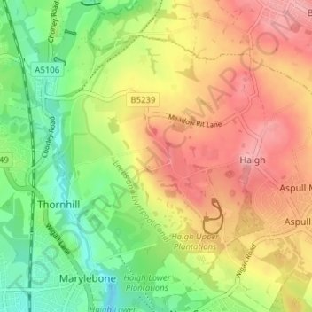
Name: Haigh topographic map, elevation, terrain.

Location: Haigh, Wigan, Greater Manchester, England, United Kingdom (53.55776 -2.63774 53.59532 -2.58181)

Average elevation: 338 ft

Minimum elevation: 131 ft

Maximum elevation: 551 ft

Gear up for your next adventure:

🪶Fire Starter Kit - Reliable fire starter for survival and camping
🩹Survival Bandages - High‑quality bandages for emergencies
🛶Inflatable Kayak - Portable kayak for rivers, lakes, and expeditions
🥾Women's Hiking Boots - Top-rated trail boots with ankle support and superior grip
🗺️NatGeo Topo Maps - High-quality waterproof printed topographic maps of US Parks

As an Amazon Associate, this site earns from qualifying purchases at no extra cost to you.