Geolocate

Alamitos topographic map

Click on the map to display elevation.

About this map

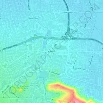
Name: Alamitos topographic map, elevation, terrain.

Location: Alamitos, San Jose, Santa Clara County, California, 95118, United States (37.23050 -121.88718 37.27050 -121.84718)

Average elevation: 197 ft

Minimum elevation: 151 ft

Maximum elevation: 545 ft

Santa Clara County trails, hiking, mountain biking, running and outdoor activities

Other topographic maps

Click on a map to view its topography, its elevation and its terrain.

Gear up for your next adventure:

📶Satellite Messenger - Communication device off‑grid
❄️Traction Cleats - Prevent slips on icy trails during winter hikes
🚪Portable Camp Chair - Foldable chair for comfort at camp
🧭Outdoor Navigation Book - Learn advanced navigation skills
🧤Tactile Hiking Gloves - Keep hands warm while operating GPS and smartphone screens

As an Amazon Associate, this site earns from qualifying purchases at no extra cost to you.