Geolocate

Talba topographic map

Click on the map to display elevation.

About this map

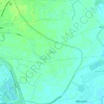
Name: Talba topographic map, elevation, terrain.

Location: Talba, Bacolor, Pampanga, Central Luzon, 2019, Philippines (14.96722 120.65320 15.00722 120.69320)

Average elevation: 20 ft

Minimum elevation: 3 ft

Maximum elevation: 36 ft

Gear up for your next adventure:

📡Handheld GPS Device - Reliable handheld GPS for outdoor navigation
🚑Emergency Bivvies - Heat-reflective sleeping bags for survival situations
🏫Relief Map Kits - Hands-on tools for teaching landforms and elevation
🎒Gear Packing Cubes - Organize your backpack efficiently
🛏️Cold Weather Sleeping Bag - Warm sleeping bag for cold conditions

As an Amazon Associate, this site earns from qualifying purchases at no extra cost to you.