
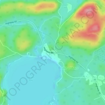
Dwight topographic map
Interactive map
Click on the map to display elevation.
About this map
Name: Dwight topographic map, elevation, terrain.
Average elevation: 1,119 ft
Minimum elevation: 1,014 ft
Maximum elevation: 1,401 ft
Other topographic maps
Click on a map to view its topography, its elevation and its terrain.
Limberlost Forest and Wildlife Reserve
Canada > Ontario > Muskoka District > Lake of Bays Township
Limberlost Forest and Wildlife Reserve, Lake of Bays Township, District Municipality of Muskoka, Muskoka District, Central Ontario, Ontario, Canada
Average elevation: 1,312 ft
Tackaberry Lake
Canada > Ontario > Muskoka District > Lake of Bays Township
Tackaberry Lake, Lake of Bays Township, District Municipality of Muskoka, Muskoka District, Central Ontario, Ontario, Canada
Average elevation: 1,109 ft