
Segonzac topographic map
Interactive map
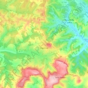
Click on the map to display elevation.
About this map
Name: Segonzac topographic map, elevation, terrain.
Average elevation: 755 ft
Minimum elevation: 466 ft
Maximum elevation: 1,148 ft
Other topographic maps
Click on a map to view its topography, its elevation and its terrain.
Segonzac
France > Nouvelle-Aquitaine > Segonzac
Segonzac, Périgueux, Dordogne, Nouvelle-Aquitaine, France métropolitaine, 24600, France
Average elevation: 600 ft