
Segonzac topographic map
Interactive map
Click on the map to display elevation.
About this map
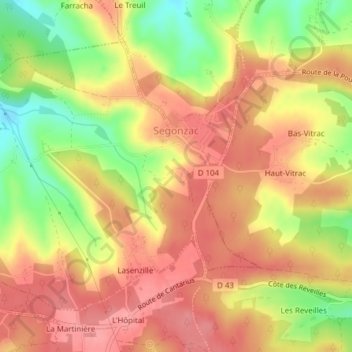
Name: Segonzac topographic map, elevation, terrain.
Average elevation: 600 ft
Minimum elevation: 413 ft
Maximum elevation: 712 ft
Other topographic maps
Click on a map to view its topography, its elevation and its terrain.
Segonzac
France > Nouvelle-Aquitaine > Segonzac
Segonzac, Brive-la-Gaillarde, Corrèze, Nouvelle-Aquitaine, France métropolitaine, 19310, France
Average elevation: 755 ft