Geolocate

Frogtown topographic map

Click on the map to display elevation.

About this map

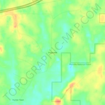
Name: Frogtown topographic map, elevation, terrain.

Location: Frogtown, Scott County, Mississippi, 39152, United States (32.28431 -89.59563 32.32431 -89.55563)

Average elevation: 446 ft

Minimum elevation: 381 ft

Maximum elevation: 525 ft

Scott County trails, hiking, mountain biking, running and outdoor activities

Other topographic maps

Click on a map to view its topography, its elevation and its terrain.

Morton

United States > Mississippi > Scott County

Average elevation: 456 ft

Forest

United States > Mississippi > Scott County

Average elevation: 476 ft

Gear up for your next adventure:

🔦Compact Flashlight - Reliable flashlight for emergencies
🛠️Backpacking Tool Kit - Essential toolkit for outdoor repairs
Solar GPS Watches - Advanced multisport watches with built-in topographic maps
📦Gear Storage Bags - Organize and protect outdoor equipment
🧦Merino Wool Socks - Moisture-wicking, blister-preventing socks for long treks

As an Amazon Associate, this site earns from qualifying purchases at no extra cost to you.