Geolocate

Montana topographic map

Click on the map to display elevation.

About this map

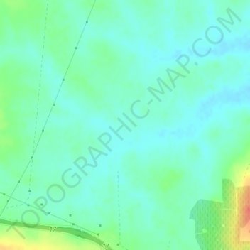
Name: Montana topographic map, elevation, terrain.

Location: Montana, Jerez, Campiña de Jerez, Cádiz, Andalusia, Spain (36.71866 -6.25655 36.73866 -6.23655)

Average elevation: 85 ft

Minimum elevation: 43 ft

Maximum elevation: 200 ft

Gear up for your next adventure:

🌡️Portable Weather Meter - Track weather conditions on the trail
🧢Sun Protection Hats - Wide-brimmed and UPF-rated hats for high-altitude sun safety
🛌Ultralight Sleeping Bags - Compact down bags for cold nights in the wilderness
📡Handheld GPS Device - Reliable handheld GPS for outdoor navigation
🧭Map Reading Tools - Tools and kits for map navigation

As an Amazon Associate, this site earns from qualifying purchases at no extra cost to you.