Geolocate

Champlain topographic map

Click on the map to display elevation.

About this map

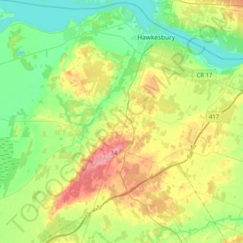
Name: Champlain topographic map, elevation, terrain.

Location: Champlain, Prescott and Russell Counties, Eastern Ontario, Ontario, Canada (45.44243 -74.82360 45.64018 -74.56150)

Average elevation: 223 ft

Minimum elevation: 115 ft

Maximum elevation: 420 ft

Other topographic maps

Click on a map to view its topography, its elevation and its terrain.

Gear up for your next adventure:

📌Outdoor GPS Map App - Apps and devices for digital topographic navigation
📻Weather Alert Radios - Stay informed of storm risks while off-the-grid
📱Solar Portable Charger - Solar power bank for charging devices off‑grid
🥘Titanium Cookware - Durable, featherlight pots and pans for backpacking
🧭Hiking Compass - Precision compass for reliable navigation in the wilderness

As an Amazon Associate, this site earns from qualifying purchases at no extra cost to you.