
Lungu topographic map
Interactive map
Click on the map to display elevation.
About this map
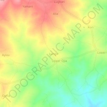
Name: Lungu topographic map, elevation, terrain.
Location: Lungu, Udupi, Arua, Northern Region, Ouganda (3.24999 31.18529 3.28999 31.22529)
Average elevation: 2,867 ft
Minimum elevation: 2,657 ft
Maximum elevation: 3,077 ft
Other topographic maps
Click on a map to view its topography, its elevation and its terrain.