
Minong topographic map
Click on the map to display elevation.
About this map
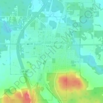
Name: Minong topographic map, elevation, terrain.
Location: Minong, Washburn County, Wisconsin, United States (46.08515 -91.84061 46.11080 -91.81403)
Average elevation: 1,083 ft
Minimum elevation: 1,017 ft
Maximum elevation: 1,257 ft
Washburn County trails, hiking, mountain biking, running and outdoor activities
Other topographic maps
Click on a map to view its topography, its elevation and its terrain.