Geolocate

Capriglio topographic map

Click on the map to display elevation.

About this map

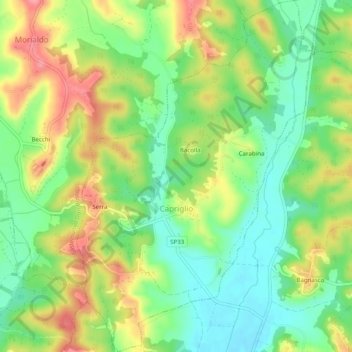
Name: Capriglio topographic map, elevation, terrain.

Location: Capriglio, Asti, Piedmont, Italy (44.98994 7.99406 45.02468 8.02679)

Average elevation: 738 ft

Minimum elevation: 600 ft

Maximum elevation: 922 ft

Other topographic maps

Click on a map to view its topography, its elevation and its terrain.

Zolfo

Italy > Piedmont > Asti > Montafia

Average elevation: 741 ft

Gear up for your next adventure:

🎒Gear Packing Cubes - Organize your backpack efficiently
🎒Outdoor Daypacks - Lightweight backpacks designed for carrying maps and essential gear
Solar GPS Watches - Advanced multisport watches with built-in topographic maps
🧣Merino Neck Gaiters - Multi-functional headwear for wind and sun protection
🥘Titanium Cookware - Durable, featherlight pots and pans for backpacking

As an Amazon Associate, this site earns from qualifying purchases at no extra cost to you.