
Henry topographic map
Click on the map to display elevation.
About this map
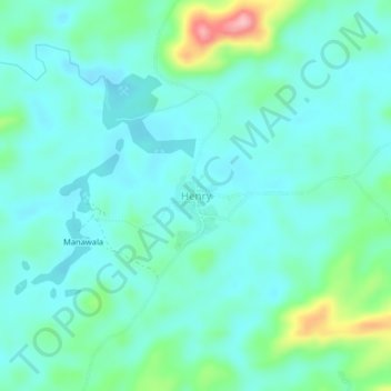
Name: Henry topographic map, elevation, terrain.
Location: Henry, Bopolu, Gbarpolu County, Liberia (7.25002 -10.37086 7.29002 -10.33086)
Average elevation: 1,053 ft
Minimum elevation: 951 ft
Maximum elevation: 1,444 ft