Geolocate

Jethwara topographic map

Click on the map to display elevation.

About this map

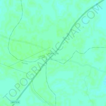
Name: Jethwara topographic map, elevation, terrain.

Location: Jethwara, Lalganj, Pratapgarh, Uttar Pradesh, 230129, India (25.80339 81.75457 25.84339 81.79457)

Average elevation: 331 ft

Minimum elevation: 318 ft

Maximum elevation: 338 ft

Other topographic maps

Click on a map to view its topography, its elevation and its terrain.

Kunda

India > Uttar Pradesh > Pratāpgarh

Average elevation: 335 ft

Raniganj

India > Uttar Pradesh > Pratāpgarh

Average elevation: 308 ft

Lalganj

India > Uttar Pradesh > Pratāpgarh

Average elevation: 338 ft

Gear up for your next adventure:

🎒Trekking Poles - Sturdy poles for balance and stability on rough terrain
🥘Titanium Cookware - Durable, featherlight pots and pans for backpacking
🔭Stargazing Telescopes - Perfect for camping in low-light pollution areas shown on maps
🦶Carbon Trekking Poles - Reduce knee impact on steep descents with ultra-light poles
🚗GPS Dash Cams - Record your scenic drives through mountain passes and canyons

As an Amazon Associate, this site earns from qualifying purchases at no extra cost to you.