
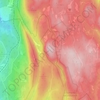
Granberget topographic map
Interactive map
Click on the map to display elevation.
About this map
Name: Granberget topographic map, elevation, terrain.
Location: Granberget, Oslo, 0496, Norway (60.01365 10.82947 60.01375 10.82957)
Average elevation: 1,155 ft
Minimum elevation: 630 ft
Maximum elevation: 1,434 ft
Other topographic maps
Click on a map to view its topography, its elevation and its terrain.