Geolocate

Winslow topographic map

Click on the map to display elevation.

About this map

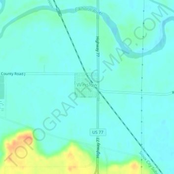
Name: Winslow topographic map, elevation, terrain.

Location: Winslow, Dodge County, Nebraska, 68072, United States (41.60670 -96.50702 41.61085 -96.50180)

Average elevation: 1,227 ft

Minimum elevation: 1,198 ft

Maximum elevation: 1,329 ft

Dodge County trails, hiking, mountain biking, running and outdoor activities

Gear up for your next adventure:

🎒Hydration Pack - Hands‑free water reservoir for long hikes
🧤Tactile Hiking Gloves - Keep hands warm while operating GPS and smartphone screens
🌎3D Topographic Globes - Raised relief globes for a tactile understanding of geography
🥇GPS Hiking Watch - Multi‑sport GPS watch with navigation and trail tracking
📱Solar Portable Charger - Solar power bank for charging devices off‑grid

As an Amazon Associate, this site earns from qualifying purchases at no extra cost to you.