

Mount Yangtai topographic map
Click on the map to display elevation.
Mount Yangtai
The Mount Yangtai (Chinese: 羊台山; pinyin: Yángtaíshān), also known as Mount Yangtai Forest Park, is a mountain at the junction of Bao'an District and Nanshan District in Shenzhen, Guangdong, China. The peak is 587.3 metres (1,927 ft) in elevation, which is the highest peak in western Shenzhen. In 2008 The mount is rated as one of the eight scenic spots of Shenzhen by the Shenzhen government.
About this map
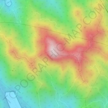
Name: Mount Yangtai topographic map, elevation, terrain.
Location: Mount Yangtai, Shenzhen, Guangdong, 518109, China (22.65439 113.95590 22.65449 113.95600)
Average elevation: 942 ft
Minimum elevation: 148 ft
Maximum elevation: 1,827 ft
Other topographic maps
Click on a map to view its topography, its elevation and its terrain.
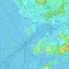
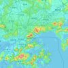
Nanshan District
At 587 metres (1,926 ft) tall, Yangtaishan has the highest elevation in the district, with Tanglangshan being the second at 430 metres (1,411 ft), and Nanshan, third, at 336 metres (1,102 ft). The district has a total coastline of 55.18 kilometres (34.29 mi).
Average elevation: 131 ft
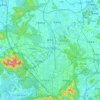

Nanshan District
At 587 metres (1,926 ft) tall, Yangtaishan has the highest elevation in the district, with Tanglangshan being the second at 430 metres (1,411 ft), and Nanshan, third, at 336 metres (1,102 ft). The district has a total coastline of 55.18 kilometres (34.29 mi).
Average elevation: 115 ft
Nanshan District
At 587 metres (1,926 ft) tall, Yangtaishan has the highest elevation in the district, with Tanglangshan being the second at 430 metres (1,411 ft), and Nanshan, third, at 336 metres (1,102 ft). The district has a total coastline of 55.18 kilometres (34.29 mi).
Average elevation: 115 ft