
Make a donation
Gear up for your next adventure:
As an Amazon Associate, this site earns from qualifying purchases at no extra cost to you.
New Germany topographic map
Click on the map to display elevation.
Make a donation
Gear up for your next adventure:
As an Amazon Associate, this site earns from qualifying purchases at no extra cost to you.
About this map
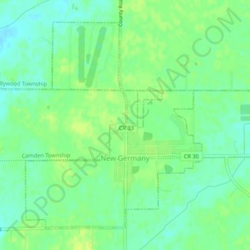
Name: New Germany topographic map, elevation, terrain.
Location: New Germany, Carver County, Minnesota, United States (44.87654 -93.98572 44.89880 -93.95882)
Average elevation: 978 ft
Minimum elevation: 951 ft
Maximum elevation: 1,001 ft
Carver County trails, hiking, mountain biking, running and outdoor activities
Make a donation
Gear up for your next adventure:
As an Amazon Associate, this site earns from qualifying purchases at no extra cost to you.
Other topographic maps
Click on a map to view its topography, its elevation and its terrain.
Make a donation
Gear up for your next adventure:
As an Amazon Associate, this site earns from qualifying purchases at no extra cost to you.
New Germany
United States > Minnesota > Carver County > New Germany > New Germany
Average elevation: 978 ft