Geolocate

Dahlgren topographic map

Click on the map to display elevation.

About this map

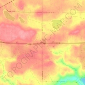
Name: Dahlgren topographic map, elevation, terrain.

Location: Dahlgren, Dahlgren Township, Carver County, Minnesota, 55315, United States (44.75663 -93.70357 44.79663 -93.66357)

Average elevation: 945 ft

Minimum elevation: 705 ft

Maximum elevation: 1,033 ft

Carver County trails, hiking, mountain biking, running and outdoor activities

Other topographic maps

Click on a map to view its topography, its elevation and its terrain.

Victoria

United States > Minnesota > Carver County

Average elevation: 978 ft

Carver

United States > Minnesota > Carver County

Average elevation: 797 ft

New Germany

United States > Minnesota > Carver County

Average elevation: 978 ft

Benton Township

United States > Minnesota > Carver County

Average elevation: 971 ft

Camden Township

United States > Minnesota > Carver County

Average elevation: 974 ft

Hancock Township

United States > Minnesota > Carver County

Average elevation: 961 ft

Mayer

United States > Minnesota > Carver County

Average elevation: 971 ft

Gear up for your next adventure:

🧴Hand Sanitizer - Keep hands clean while hiking
🕶️GPS Smartphone Mount - Secure mount for phone navigation
🎒Trekking Poles - Sturdy poles for balance and stability on rough terrain
🚪Portable Camp Chair - Foldable chair for comfort at camp
Solar GPS Watches - Advanced multisport watches with built-in topographic maps

As an Amazon Associate, this site earns from qualifying purchases at no extra cost to you.