
Thank you for supporting this site ❤️
Make a donation
Make a donation
Gear up for your next adventure:
As an Amazon Associate, this site earns from qualifying purchases at no extra cost to you.
Doi Pha Hom Pok topographic map
Click on the map to display elevation.
Thank you for supporting this site ❤️
Make a donation
Make a donation
Gear up for your next adventure:
As an Amazon Associate, this site earns from qualifying purchases at no extra cost to you.
About this map
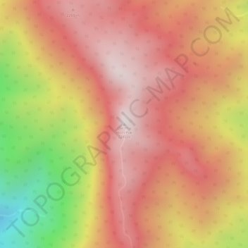
Name: Doi Pha Hom Pok topographic map, elevation, terrain.
Location: Doi Pha Hom Pok, Chiang Mai Province, Thailand (20.07061 99.14163 20.07071 99.14173)
Average elevation: 6,585 ft
Minimum elevation: 4,961 ft
Maximum elevation: 7,415 ft
Thank you for supporting this site ❤️
Make a donation
Make a donation
Gear up for your next adventure:
As an Amazon Associate, this site earns from qualifying purchases at no extra cost to you.
Other topographic maps
Click on a map to view its topography, its elevation and its terrain.