
Racine topographic map
Click on the map to display elevation.
About this map
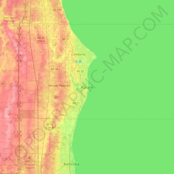
Name: Racine topographic map, elevation, terrain.
Location: Racine, Racine County, Wisconsin, 53401, United States (42.56605 -87.94252 42.88605 -87.62252)
Average elevation: 633 ft
Minimum elevation: 499 ft
Maximum elevation: 830 ft
Racine County trails, hiking, mountain biking, running and outdoor activities