Geolocate

Ariyur topographic map

Click on the map to display elevation.

About this map

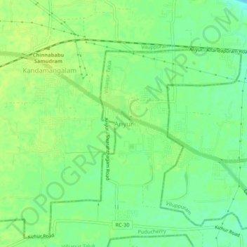
Name: Ariyur topographic map, elevation, terrain.

Location: Ariyur, Villianur Taluk, Puducherry, 605102, India (11.88736 79.67920 11.92736 79.71920)

Average elevation: 52 ft

Minimum elevation: 20 ft

Maximum elevation: 72 ft

Other topographic maps

Click on a map to view its topography, its elevation and its terrain.

Oussudu WLS

India > Puducherry > Villianur Taluk > Koodapakkam

Average elevation: 43 ft

Gear up for your next adventure:

🔦Compact Flashlight - Reliable flashlight for emergencies
🧷Carabiner Set - Durable clips for gear attachment
🎒Day Hiking Backpack - Lightweight backpack perfect for day trips and outdoor adventures
👓Polarized Sunglasses - Outdoor sunglasses for glare reduction
🔦LED Headlamp - Bright and durable LED headlamp for night navigation

As an Amazon Associate, this site earns from qualifying purchases at no extra cost to you.