Geolocate

Moora topographic map

Click on the map to display elevation.

About this map

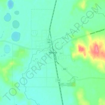
Name: Moora topographic map, elevation, terrain.

Location: Moora, Western Australia, Australia (-30.68163 115.96764 -30.60163 116.04764)

Average elevation: 696 ft

Minimum elevation: 636 ft

Maximum elevation: 896 ft

Gear up for your next adventure:

🗺️NatGeo Topo Maps - High-quality waterproof printed topographic maps of US Parks
🪶Wildlife Field Guides - Learn animal tracking and species ID
📌Outdoor GPS Map App - Apps and devices for digital topographic navigation
🧣Hiking Neck Gaiter - Multi‑use neck protection for outdoor weather
Backpacking Tents - Weight-optimized shelters for multi-day topographic surveys

As an Amazon Associate, this site earns from qualifying purchases at no extra cost to you.