Geolocate

Forest Park topographic map

Click on the map to display elevation.

About this map

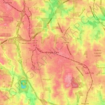
Name: Forest Park topographic map, elevation, terrain.

Location: Forest Park, Clayton County, Georgia, 30297, United States (33.58205 -84.40909 33.66205 -84.32909)

Average elevation: 928 ft

Minimum elevation: 705 ft

Maximum elevation: 1,040 ft

Clayton County trails, hiking, mountain biking, running and outdoor activities

Gear up for your next adventure:

🛰️Handheld GPS Units - Professional satellite navigators for precise backcountry mapping
🧭Compass with Lanyard - Easy‑carry compass for navigation
🔥Plasma Lighters - Windproof lighters that work in any weather condition
🪶Camp Gear Gift Set - Perfect gift bundle for outdoor fans
🥘Titanium Cookware - Durable, featherlight pots and pans for backpacking

As an Amazon Associate, this site earns from qualifying purchases at no extra cost to you.