Geolocate

Punta Gorda topographic map

Click on the map to display elevation.

About this map

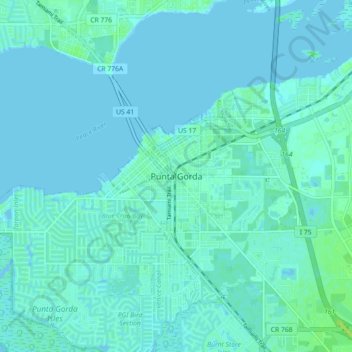
Name: Punta Gorda topographic map, elevation, terrain.

Location: Punta Gorda, Charlotte County, Florida, 33950, United States (26.88978 -82.08537 26.96978 -82.00537)

Average elevation: 7 ft

Minimum elevation: -7 ft

Maximum elevation: 39 ft

Charlotte County trails, hiking, mountain biking, running and outdoor activities

Gear up for your next adventure:

🎒Trekking Poles - Sturdy poles for balance and stability on rough terrain
🧭Orienteering Set - Complete compass and map reading kit
🧷Carabiner Set - Durable clips for gear attachment
🧢Outdoor Hiking Hat - Sun protection hat for outdoor explorers
🥩Freeze-Dried Meals - Nutritious and lightweight food for remote expeditions

As an Amazon Associate, this site earns from qualifying purchases at no extra cost to you.