
Arlingham topographic map
Click on the map to display elevation.
About this map
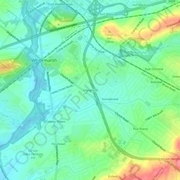
Name: Arlingham topographic map, elevation, terrain.
Average elevation: 217 ft
Minimum elevation: 135 ft
Maximum elevation: 410 ft
Other topographic maps
Click on a map to view its topography, its elevation and its terrain.
Wyndmoor
United States > Pennsylvania > Montgomery County > Springfield Township
Average elevation: 358 ft