Geolocate

Pasochoa topographic map

Click on the map to display elevation.

About this map

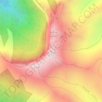
Name: Pasochoa topographic map, elevation, terrain.

Location: Pasochoa, Tambillo, Machachi, Pichincha, Ecuador (-0.46569 -78.48076 -0.46559 -78.48066)

Average elevation: 12,500 ft

Minimum elevation: 10,548 ft

Maximum elevation: 13,655 ft

Gear up for your next adventure:

👖Convertible Hiking Pants - Versatile zip-off pants for changing altitudes and temperatures
GPS Sports Watch - GPS watch for running, hiking and training
💧Water Filtration Bottles - Safely drink from streams and lakes while exploring
🩹Survival Bandages - High‑quality bandages for emergencies
🦶Hiking Gaiters - Keep debris and water out of your boots

As an Amazon Associate, this site earns from qualifying purchases at no extra cost to you.