
真武山街道 topographic map
Interactive map
Click on the map to display elevation.
About this map
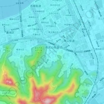
Name: 真武山街道 topographic map, elevation, terrain.
Location: 真武山街道, 襄城区, 襄阳市, 湖北省, 441021, 中国 (31.98339 112.12387 32.02456 112.15893)
Average elevation: 348 ft
Minimum elevation: 184 ft
Maximum elevation: 1,129 ft
Other topographic maps
Click on a map to view its topography, its elevation and its terrain.