
鱼梁洲管委会 topographic map
Interactive map
Click on the map to display elevation.
About this map
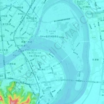
Name: 鱼梁洲管委会 topographic map, elevation, terrain.
Location: 鱼梁洲管委会, 襄城区, 襄阳市, 湖北省, 中国 (31.98682 112.16247 32.07832 112.21986)
Average elevation: 236 ft
Minimum elevation: 174 ft
Maximum elevation: 1,063 ft
Other topographic maps
Click on a map to view its topography, its elevation and its terrain.