Geolocate

Langar topographic map

Click on the map to display elevation.

About this map

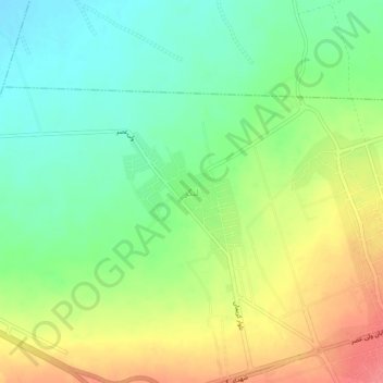
Name: Langar topographic map, elevation, terrain.

Location: Langar, Mahan, بخش ماهان, Kerman County, Kerman Province, Iran (30.05444 57.24379 30.09444 57.28379)

Average elevation: 6,112 ft

Minimum elevation: 6,014 ft

Maximum elevation: 6,247 ft

Gear up for your next adventure:

👟Trail Running Shoes - Lightweight shoes for trail runners
🥘Titanium Cookware - Durable, featherlight pots and pans for backpacking
🔦LED Headlamp - Bright and durable LED headlamp for night navigation
🛰️Handheld GPS Units - Professional satellite navigators for precise backcountry mapping
👖Convertible Hiking Pants - Versatile zip-off pants for changing altitudes and temperatures

As an Amazon Associate, this site earns from qualifying purchases at no extra cost to you.