Geolocate

Lydia topographic map

Click on the map to display elevation.

About this map

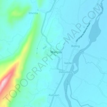
Name: Lydia topographic map, elevation, terrain.

Location: Lydia, Ilocos Norte, Ilocos Region, 2913, Philippines (18.02292 120.65731 18.06292 120.69731)

Average elevation: 233 ft

Minimum elevation: 105 ft

Maximum elevation: 1,099 ft

Gear up for your next adventure:

🛰️Handheld GPS Units - Professional satellite navigators for precise backcountry mapping
🧭Map Reading Tools - Tools and kits for map navigation
🌧️Backpack Rain Cover - Keep gear dry in wet weather
🪶Compact Camp Shovel - Folding shovel for campsite tasks
📷Action Camera - Capture your outdoor adventures in HD

As an Amazon Associate, this site earns from qualifying purchases at no extra cost to you.