Geolocate

Cherambadi topographic map

Click on the map to display elevation.

About this map

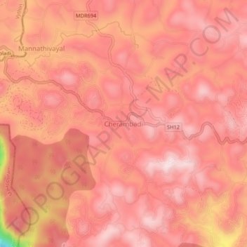
Name: Cherambadi topographic map, elevation, terrain.

Location: Cherambadi, Pandalur, Nilgiris, Tamil Nadu, 643205, India (11.49666 76.24710 11.53666 76.28710)

Average elevation: 2,805 ft

Minimum elevation: 1,785 ft

Maximum elevation: 3,091 ft

Gear up for your next adventure:

🧺Microfiber Travel Towels - Compact and fast-drying towels for trail use
🔥Fast-Boil Camping Stoves - Efficient cooking systems for quick trail meals
Backpacking Tents - Weight-optimized shelters for multi-day topographic surveys
👟Men's Trail Runners - Lightweight footwear for fast-paced exploration and light hiking
🔪Outdoor Multitools - Essential survival tools for gear repair and field use

As an Amazon Associate, this site earns from qualifying purchases at no extra cost to you.