Geolocate

Rose Bud topographic map

Click on the map to display elevation.

About this map

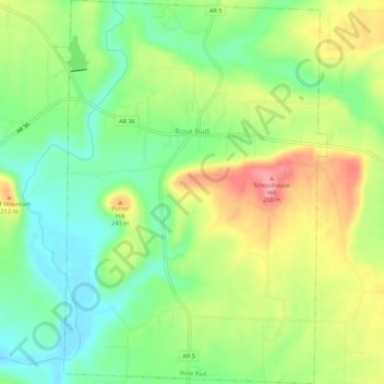
Name: Rose Bud topographic map, elevation, terrain.

Location: Rose Bud, White County, Arkansas, 72137, United States (35.30257 -92.10114 35.34726 -92.06198)

Average elevation: 656 ft

Minimum elevation: 518 ft

Maximum elevation: 846 ft

White County trails, hiking, mountain biking, running and outdoor activities

Other topographic maps

Click on a map to view its topography, its elevation and its terrain.

Doniphan

United States > Arkansas > White County

Average elevation: 226 ft

Gear up for your next adventure:

🔭Compact Binoculars - HD vision for scouting terrain and identifying distant landmarks
🥤Water Filter Bottle - All‑in‑one filter bottle for safe hydration
🎒Trekking Poles - Sturdy poles for balance and stability on rough terrain
🎁Geography Themed Gifts - Unique gift ideas for map lovers and geography enthusiasts
🛌Ultralight Sleeping Bags - Compact down bags for cold nights in the wilderness

As an Amazon Associate, this site earns from qualifying purchases at no extra cost to you.