
Thank you for supporting this site ❤️
Make a donation
Make a donation
Gear up for your next adventure:
As an Amazon Associate, this site earns from qualifying purchases at no extra cost to you.
Broz topographic map
Click on the map to display elevation.
Thank you for supporting this site ❤️
Make a donation
Make a donation
Gear up for your next adventure:
As an Amazon Associate, this site earns from qualifying purchases at no extra cost to you.
About this map
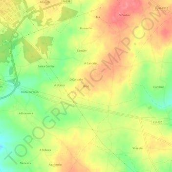
Name: Broz topographic map, elevation, terrain.
Location: Broz, Goiriz, Vilalba, Terra Chá, Lugo, Galicia, 27840, Spain (43.27264 -7.65854 43.31264 -7.61854)
Average elevation: 1,529 ft
Minimum elevation: 1,378 ft
Maximum elevation: 1,650 ft
Thank you for supporting this site ❤️
Make a donation
Make a donation
Gear up for your next adventure:
As an Amazon Associate, this site earns from qualifying purchases at no extra cost to you.