
Make a donation
Gear up for your next adventure:
As an Amazon Associate, this site earns from qualifying purchases at no extra cost to you.
Castillo de Benthomiz topographic map
Click on the map to display elevation.
Make a donation
Gear up for your next adventure:
As an Amazon Associate, this site earns from qualifying purchases at no extra cost to you.
Castillo de Benthomiz
Le château de Bentomiz, est une ancienne forteresse construite sur un coteau, proche du village espagnol d'Arenas, dans la province andalouse de Malaga, à 711 mètres d'altitude. Cette forteresse notée sur un document signé par Abd Allah, roi zirí de Grenade au XI siècle, fut reprise par le roi catholique espagnol en 1487.
Make a donation
Gear up for your next adventure:
As an Amazon Associate, this site earns from qualifying purchases at no extra cost to you.
About this map
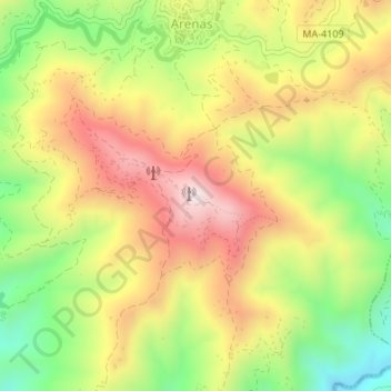
Name: Castillo de Benthomiz topographic map, elevation, terrain.
Average elevation: 1,411 ft
Minimum elevation: 512 ft
Maximum elevation: 2,280 ft
Make a donation
Gear up for your next adventure:
As an Amazon Associate, this site earns from qualifying purchases at no extra cost to you.