Geolocate

Tramo topographic map

Click on the map to display elevation.

About this map

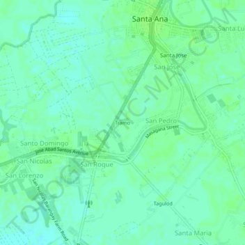
Name: Tramo topographic map, elevation, terrain.

Location: Tramo, Santa Ana, Pampanga, Central Luzon, 2022, Philippines (15.05768 120.74132 15.09768 120.78132)

Average elevation: 20 ft

Minimum elevation: 3 ft

Maximum elevation: 30 ft

Gear up for your next adventure:

📷Action Camera - Capture your outdoor adventures in HD
📚Navigation Handbooks - Master the art of reading topographic maps and using a compass
🪶Trail Camera - Capture wildlife on your hikes
🔭Telescopic Hiking Pole - Adjustable pole for hiking stability
📡Handheld GPS Device - Reliable handheld GPS for outdoor navigation

As an Amazon Associate, this site earns from qualifying purchases at no extra cost to you.