
雅瑶村 topographic map
Interactive map
Click on the map to display elevation.
About this map
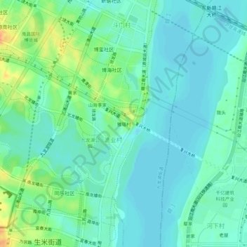
Name: 雅瑶村 topographic map, elevation, terrain.
Location: 雅瑶村, 九龙湖街道, 渔业村, 红谷滩区, 南昌市, 江西省, 中国 (28.57242 115.78682 28.61242 115.82682)
Average elevation: 72 ft
Minimum elevation: 36 ft
Maximum elevation: 171 ft
Other topographic maps
Click on a map to view its topography, its elevation and its terrain.