
Tagdemt topographic map
Click on the map to display elevation.
About this map
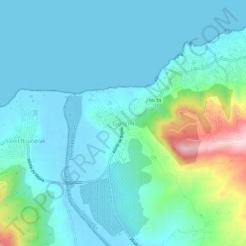
Name: Tagdemt topographic map, elevation, terrain.
Location: Tagdemt, Dellys, Dellys District, Boumerdes, 35100, Algeria (36.88678 3.84470 36.92678 3.88470)
Average elevation: 210 ft
Minimum elevation: -20 ft
Maximum elevation: 1,181 ft