
Tennur topographic map
Click on the map to display elevation.
About this map
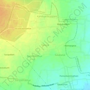
Name: Tennur topographic map, elevation, terrain.
Location: Tennur, Andimadam, Ariyalur District, Tamil Nadu, India (11.32714 79.40253 11.36714 79.44253)
Average elevation: 184 ft
Minimum elevation: 131 ft
Maximum elevation: 236 ft