Geolocate

Amparo topographic map

Click on the map to display elevation.

About this map

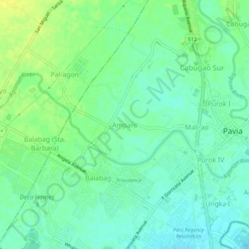
Name: Amparo topographic map, elevation, terrain.

Location: Amparo, Pavia, Iloilo, Western Visayas, 5001, Philippines (10.75579 122.50426 10.79579 122.54426)

Average elevation: 66 ft

Minimum elevation: 36 ft

Maximum elevation: 102 ft

Other topographic maps

Click on a map to view its topography, its elevation and its terrain.

Plaza Pavia

Philippines > Iloilo > Pavia > Purok III

Average elevation: 56 ft

Aganan River

Philippines > Iloilo > Pavia > Purok IV

Average elevation: 52 ft

Gear up for your next adventure:

🕶️Glacier Sunglasses - Side shields to protect eyes from high-altitude snow glare
🥘Titanium Cookware - Durable, featherlight pots and pans for backpacking
🪵Folding Camp Saw - Compact saw for wood and campsite work
Solar GPS Watches - Advanced multisport watches with built-in topographic maps
🪑Ultralight Camp Chairs - Portable seating for resting after a long day of mapping

As an Amazon Associate, this site earns from qualifying purchases at no extra cost to you.