
Thank you for supporting this site ❤️
Make a donation
Make a donation
Gear up for your next adventure:
As an Amazon Associate, this site earns from qualifying purchases at no extra cost to you.
Rinam topographic map
Click on the map to display elevation.
Thank you for supporting this site ❤️
Make a donation
Make a donation
Gear up for your next adventure:
As an Amazon Associate, this site earns from qualifying purchases at no extra cost to you.
About this map
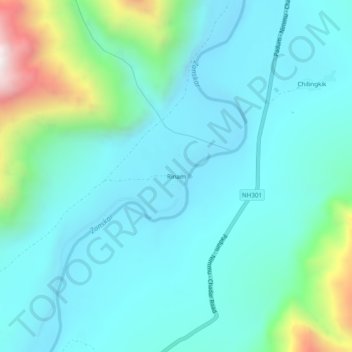
Name: Rinam topographic map, elevation, terrain.
Location: Rinam, Zanskar tehsil, Kargil District, Ladakh, India (33.52879 76.96734 33.56879 77.00734)
Average elevation: 11,975 ft
Minimum elevation: 11,306 ft
Maximum elevation: 14,938 ft
Thank you for supporting this site ❤️
Make a donation
Make a donation
Gear up for your next adventure:
As an Amazon Associate, this site earns from qualifying purchases at no extra cost to you.