
Make a donation
Gear up for your next adventure:
As an Amazon Associate, this site earns from qualifying purchases at no extra cost to you.
Madenburg topographic map
Click on the map to display elevation.
Make a donation
Gear up for your next adventure:
As an Amazon Associate, this site earns from qualifying purchases at no extra cost to you.
Madenburg
Die Madenburg wurde als Höhenburg am Ostrand des Pfälzerwalds auf einem in die Rheinebene vorspringenden Felsausläufer des 476,3 m hohen Rothenbergs erbaut. Die von Wald umgebene Ruine liegt etwa 250 m oberhalb von Eschbach auf einer Höhe von 458,5 m ü. NHN.
Make a donation
Gear up for your next adventure:
As an Amazon Associate, this site earns from qualifying purchases at no extra cost to you.
About this map
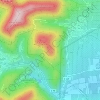
Name: Madenburg topographic map, elevation, terrain.
Average elevation: 951 ft
Minimum elevation: 581 ft
Maximum elevation: 1,703 ft
Make a donation
Gear up for your next adventure:
As an Amazon Associate, this site earns from qualifying purchases at no extra cost to you.