Geolocate

Addison topographic map

Click on the map to display elevation.

About this map

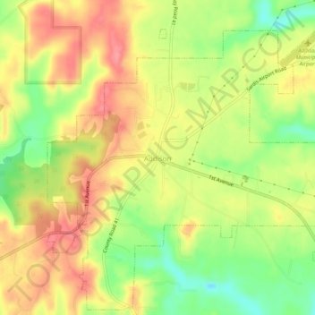
Name: Addison topographic map, elevation, terrain.

Location: Addison, Winston County, Alabama, United States (34.17990 -87.20362 34.22180 -87.14740)

Average elevation: 771 ft

Minimum elevation: 574 ft

Maximum elevation: 899 ft

Winston County trails, hiking, mountain biking, running and outdoor activities

Other topographic maps

Click on a map to view its topography, its elevation and its terrain.

Wilson Bend

United States > Alabama > Winston County > Wilson Bend

Average elevation: 574 ft

Gear up for your next adventure:

🥇GPS Hiking Watch - Multi‑sport GPS watch with navigation and trail tracking
🔋Solar Power Banks - Keep your GPS and phone charged in remote wilderness areas
🛠️Backpacking Tool Kit - Essential toolkit for outdoor repairs
🎒Hydration Pack - Hands‑free water reservoir for long hikes
📱Solar Portable Charger - Solar power bank for charging devices off‑grid

As an Amazon Associate, this site earns from qualifying purchases at no extra cost to you.