
Wilson Bend topographic map
Click on the map to display elevation.
About this map
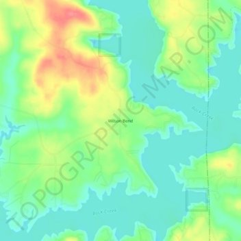
Name: Wilson Bend topographic map, elevation, terrain.
Location: Wilson Bend, Winston County, Alabama, United States (33.99510 -87.14945 34.03510 -87.10945)
Average elevation: 574 ft
Minimum elevation: 492 ft
Maximum elevation: 725 ft
Winston County trails, hiking, mountain biking, running and outdoor activities