
Thank you for supporting this site ❤️
Make a donation
Make a donation
Gear up for your next adventure:
As an Amazon Associate, this site earns from qualifying purchases at no extra cost to you.
Gingurthy topographic map
Click on the map to display elevation.
Thank you for supporting this site ❤️
Make a donation
Make a donation
Gear up for your next adventure:
As an Amazon Associate, this site earns from qualifying purchases at no extra cost to you.
About this map
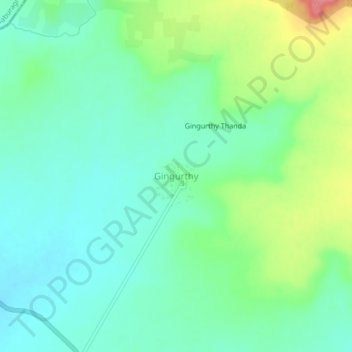
Name: Gingurthy topographic map, elevation, terrain.
Location: Gingurthy, Tandur mandal, Vikarabad District, Telangana, India (17.32759 77.52389 17.36759 77.56389)
Average elevation: 1,601 ft
Minimum elevation: 1,516 ft
Maximum elevation: 1,801 ft
Thank you for supporting this site ❤️
Make a donation
Make a donation
Gear up for your next adventure:
As an Amazon Associate, this site earns from qualifying purchases at no extra cost to you.