
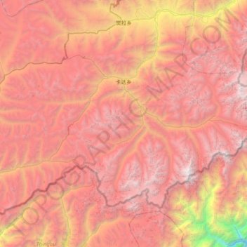
卡达乡 topographic map
Interactive map
Click on the map to display elevation.
About this map
Name: 卡达乡 topographic map, elevation, terrain.
Location: 卡达乡, 错那市, 山南市, 西藏自治区, 中国 (27.79292 92.10629 28.17228 92.73770)
Average elevation: 16,027 ft
Minimum elevation: 5,079 ft
Maximum elevation: 23,048 ft
Other topographic maps
Click on a map to view its topography, its elevation and its terrain.