
贡日门巴族乡 topographic map
Interactive map
Click on the map to display elevation.
About this map
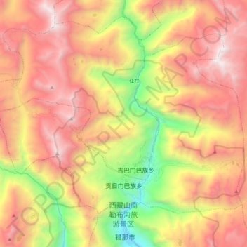
Name: 贡日门巴族乡 topographic map, elevation, terrain.
Location: 贡日门巴族乡, 错那市, 山南市, 西藏自治区, 中国 (27.89214 91.70086 28.00726 91.87909)
Average elevation: 14,121 ft
Minimum elevation: 9,554 ft
Maximum elevation: 18,018 ft
Other topographic maps
Click on a map to view its topography, its elevation and its terrain.