
Make a donation
Gear up for your next adventure:
As an Amazon Associate, this site earns from qualifying purchases at no extra cost to you.
Ramspol topographic map
Click on the map to display elevation.
Make a donation
Gear up for your next adventure:
As an Amazon Associate, this site earns from qualifying purchases at no extra cost to you.
Ramspol
Ramspol is het punt waar Kampereiland en Noordoostpolder elkaar bijna raken. Voor de inpoldering was Ramspol een onbedijkt eilandje in de Zuiderzee ter grootte van 5.83 ha voor de Overijsselse kust ter hoogte van Kampen.
Make a donation
Gear up for your next adventure:
As an Amazon Associate, this site earns from qualifying purchases at no extra cost to you.
About this map
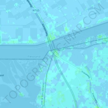
Name: Ramspol topographic map, elevation, terrain.
Location: Ramspol, Kampen, Overijssel, Nederland, 8267 BB, Nederland (52.58923 5.82391 52.62923 5.86391)
Average elevation: 0 ft
Minimum elevation: -16 ft
Maximum elevation: 20 ft
Make a donation
Gear up for your next adventure:
As an Amazon Associate, this site earns from qualifying purchases at no extra cost to you.
Other topographic maps
Click on a map to view its topography, its elevation and its terrain.